Geography
Main article: Geography of Visakhapatnam
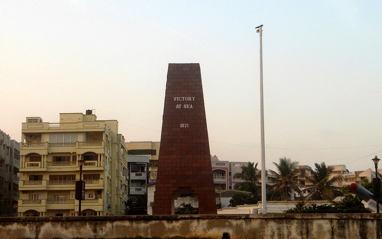 |
| War Memorial at vizag beach road |
Visakhapatnam is located on the sea shore of Bay of Bengal in the East, bordering on the North with the State of Orissa and Vizianagaram district andEast Godavari District to the South. The city coordinates lies between 17.6883° N latitude, and 83.2186° E longitude. It's periphery consists of plains along the coast line while the interiors boast of the beautiful hills of the Eastern Ghats which surround it on the North and the West. This region is also called the Agency Division. It occupies an area of approximately 11,161 km2 (4,309 sq mi).
Climate
 |
| Areal view of Visakhapatnam city |
Visakhapatnam has a tropical savanna climate (Köppen climate classification Aw), with little change in temperature throughout the year. May is the hottest month with an average maximum temperature about 36 °C (97 °F), and January is the coolest month with an average maximum temperature near 28 °C (82 °F). The city has very hot, humid summers and warm, humid winters. The lowest temperature ever recorded in the city was 10 °C (50 °F), while the highest was 45.5 °C (113.9 °F). With the city's location on the Bay of Bengal, the humidity is high throughout the year, highest in September and lowest in December, however with a difference of only 10%. Total annual rainfall is about 1,265 millimetres (49.8 in), most of which falls during the southwest monsoon. October is the wettest month, with about 254 millimetres (10.0 in) of rainfall. November through February is the best time to visit Visakhapatnam weather-wise, since temperatures are moderate.
Climate data for Visakhapatnam | |||||||||||||
|---|---|---|---|---|---|---|---|---|---|---|---|---|---|
| Month | Jan | Feb | Mar | Apr | May | Jun | Jul | Aug | Sep | Oct | Nov | Dec | Year |
| Record high °C (°F) | 34.8 (94.6) | 38.2 (100.8) | 40.0 (104) | 40.5 (104.9) | 45.0 (113) | 45.4 (113.7) | 41.4 (106.5) | 38.8 (101.8) | 38.2 (100.8) | 37.2 (99) | 35.0 (95) | 34.2 (93.6) | 45.4 (113.7) |
| Average high °C (°F) | 28.9 (84) | 31.3 (88.3) | 33.8 (92.8) | 35.3 (95.5) | 36.2 (97.2) | 35.3 (95.5) | 32.9 (91.2) | 32.7 (90.9) | 32.5 (90.5) | 31.7 (89.1) | 30.4 (86.7) | 28.9 (84) | 32.49 (90.48) |
| Average low °C (°F) | 17.0 (62.6) | 18.9 (66) | 22.0 (71.6) | 25.1 (77.2) | 26.7 (80.1) | 26.3 (79.3) | 25.1 (77.2) | 25.0 (77) | 24.6 (76.3) | 23.3 (73.9) | 20.6 (69.1) | 17.6 (63.7) | 22.68 (72.83) |
| Record low °C (°F) | 10.5 (50.9) | 12.8 (55) | 14.4 (57.9) | 18.3 (64.9) | 20.0 (68) | 20.6 (69.1) | 21.0 (69.8) | 21.1 (70) | 17.5 (63.5) | 17.6 (63.7) | 12.9 (55.2) | 11.3 (52.3) | 10.5 (50.9) |
| Precipitation mm (inches) | 21.4 (0.843) | 17.7 (0.697) | 17.5 (0.689) | 37.6 (1.48) | 77.8 (3.063) | 135.6 (5.339) | 164.6 (6.48) | 181.2 (7.134) | 224.8 (8.85) | 254.3 (10.012) | 95.3 (3.752) | 37.9 (1.492) | 1,265.7 (49.831) |
| Avg. rainy days | 1.7 | 2.3 | 2.3 | 3.2 | 4.9 | 8.8 | 11.9 | 12.6 | 12.6 | 9.9 | 5.0 | 1.7 | 76.9 |
| % humidity | 71 | 70 | 69 | 71 | 69 | 71 | 76 | 77 | 78 | 74 | 68 | 67 | 71.8 |
| Source #1: IMD (average high and low, precipitation)[10] | |||||||||||||
| Source #2: IMD (temperature extremes upto 2010)[11] | |||||||||||||
No comments:
Post a Comment